
Around the town centre - 7/10/2020
 |
| Frederick Street. The large building on the left was formerly part of what later became Loughborough University. |
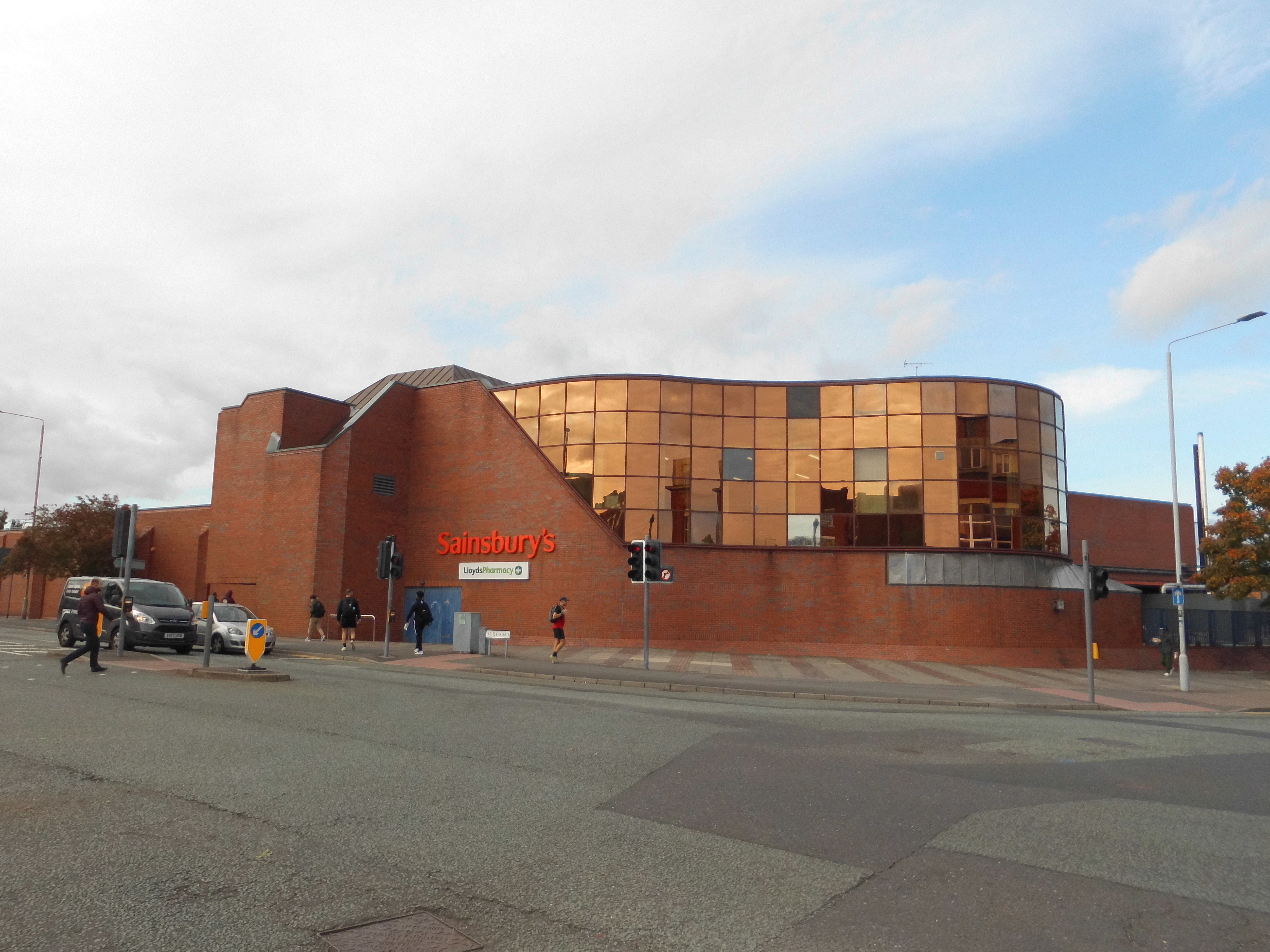 |
| Sainsbury's stunning-looking facade on the corner of Ashby Road and Greenclose Lane. |
 |
| Ashby Square. Carpet Cuts occupies the former premises of the Oriental Food Shop, which moved to Derby Square around last year. |
 |
| Ashby Square. |
 |
| The alley between the Iceland frozen food store and the Crafty Fox pub. |
 |
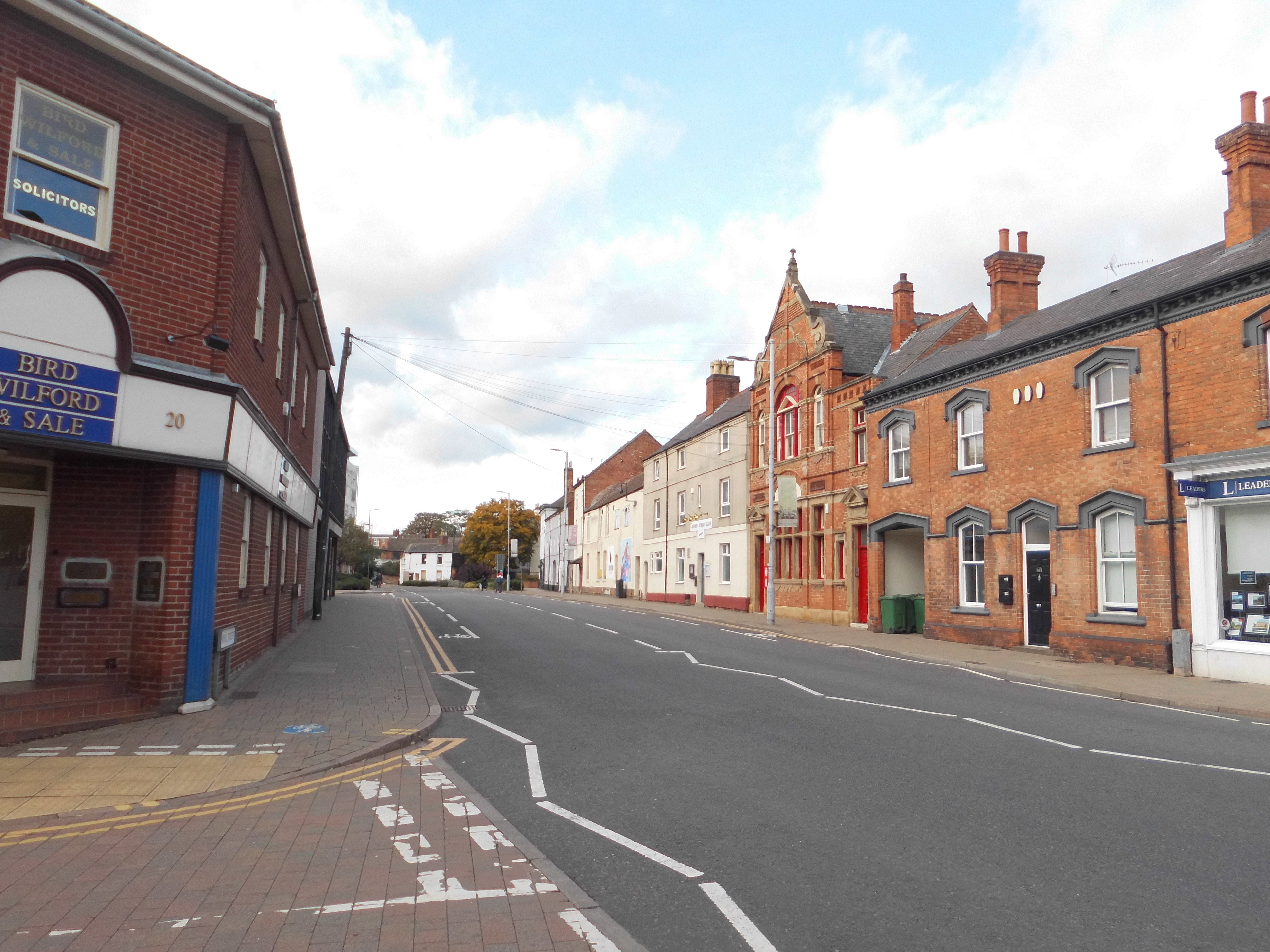
| Market Street. |
 |
| Swan Street, looking towards the Market Place. |
 |
| Biggin Street looking towards the Market Place. |
 |
| The Rushes Shopping Centre, seen from Biggin Street. JD (left) opened last year in premises previously occupied by HMV, and then the ill-fated Poundworld. It replaced a former branch in Market Place which closed in January 2012. Subway (right) opened its third branch 2016 in premises that were empty for several years. |
 |
| The Loughborough offices of the Labour Party, on Fennel Street. The Labour Party had a disastrous (for them) defeat in the general election last year. |
 |
| Churchgate, looking towards All Saint's Church. |
 |
| Fennel Street. |
 |
| The tower of All Saints Church. |
 |
| Churchgate, looking towards Fennel Street. |
 |
| Market Place looking towards High Street. The premises now containing the German Doner Kebab cafe was formerly a branch of Burton's for more than eighty years after the building's construction in around 1928. |
 |
| Market Street looking towards Swan Street. |
 |
| The building housing the branch of McDonald's in the town centre was built in 1928. |
 |
| Looking out of the Carillon Court Shopping Centre onto Market Place. |
 |
| Thee entrance to the Carillon Court Shopping Centre. |


 |
| "Please adhere to social distancing"... but these stickers can't even adhere to the pavement! |
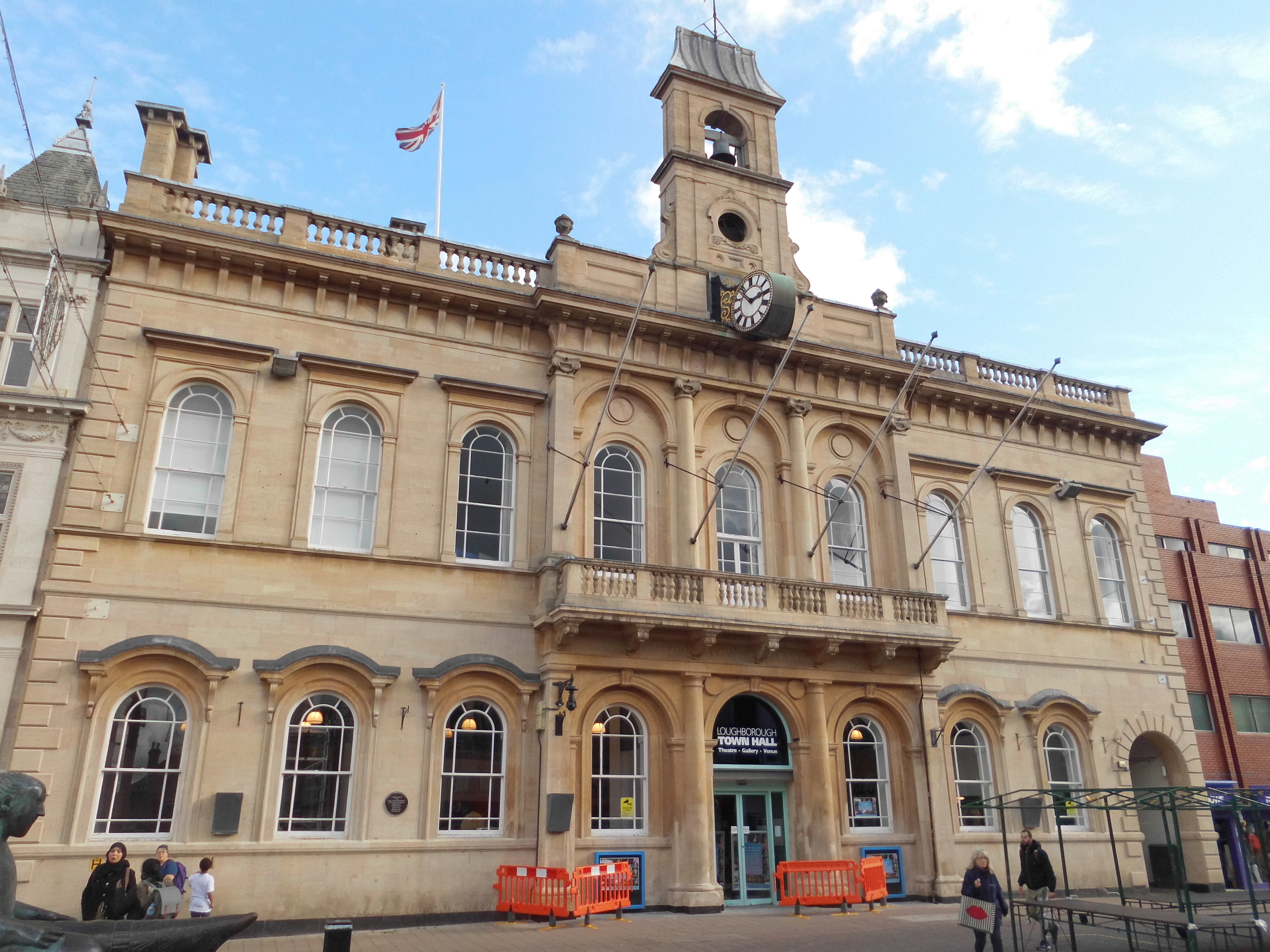 |
| The Town Hall, originally built as the Corn Exchange in 1855. The bell was restored last year and rang for the first time in four years. |


 |
| Woodgate. On the left are NHS offices; to its right is the Beehive Lane car park. Further to the right is Asha House. |
 | |
|


 |
| Flats off Southfields Road seen from Woodgate. |
 |
| Woodgate, looking towards Bedford Square. |


 |
| Woodgate Chambers. This was originally a police station and then a courthouse. |


 |
| A milepost outside the Organ Grinder/Old Packhorse pub on Woodgate. This rather misplaced milestone appeared here mysteriously one night between 1912 and 1938, and is believed to have come from Shardlow in Derbyshire! |
 |
| Woodgate. |
 |
| Leicester Road. |
 |
| New student flats under construction on Leicester Road. |


 |
| The first planning application for such a scheme on this site included a fifteen-storey tower. Personally, I thought this would be quite cool - but now I think seven storeys is quite tall enough! |
 |
| Leicester Road. |
 |
| Barrow Street. |
 |
| Leicester Road, looking towards High Street. The Phantom pub is the only building of a previous generation standing on the site enclosed by Leicester Road, Pinfold Gate, Barrow Street and Aumberry Gap. |

 |
| A building on the corner of Leicester Road and Southfields Road. |
 |
| Southfields Road. The offices of Charnwood Borough Council are on the left-hand side of the road. |


 |
| The revamped western entrance to Southfields Park on Leicester Road. |
 |
| Leicester Road, looking towards the town centre. |
 |
| This is probably the first LED advertisement display in Loughborough. It is at the junction of Leicester Road and King Street. |
 |
| Southfields Road, from the junction of Victoria Street. |
 |
| Bedford Square. |
 |
| Bedford Street. |
 |
| Southfields Road. |
 |
| Woodgate. |
 |
| Wards End looking through to Forest Road. |
 |
| Buildings adjacent to the car park next to Queen's Park. |
 |
| The bowling green at Queen's Park. Seen from the Granby Street car park. |
 |
| A mural by Buber Nebz in the Granby Street car park. |
 |
| John Storer House. This community centre was opened in 1966 by Princess Margaret. |
Comments